Contact us
Reach out to us and a representative from one of our 26 worldwide office locations will contact you shortly.
Please login to your designated client portal:
Navigate your company’s success through reliable, single-sourced data and the industry’s best weather insights.

We are the industry leader in weather intelligence and ship routing services. More than 12,000 ships rely on our software and services for navigational planning, route optimization, weather and fleet performance. With 26 offices worldwide, including ten 24/7/365 global operations centers, we are there for you at any time.
Explore our solutions

ships rely on StormGeo software or services for navigational planning, route optimization, weather and fleet performance
voyages routed per year including voyage performance analysis
vessels with installed software for route optimization
vessels with chart and publication subscriptions
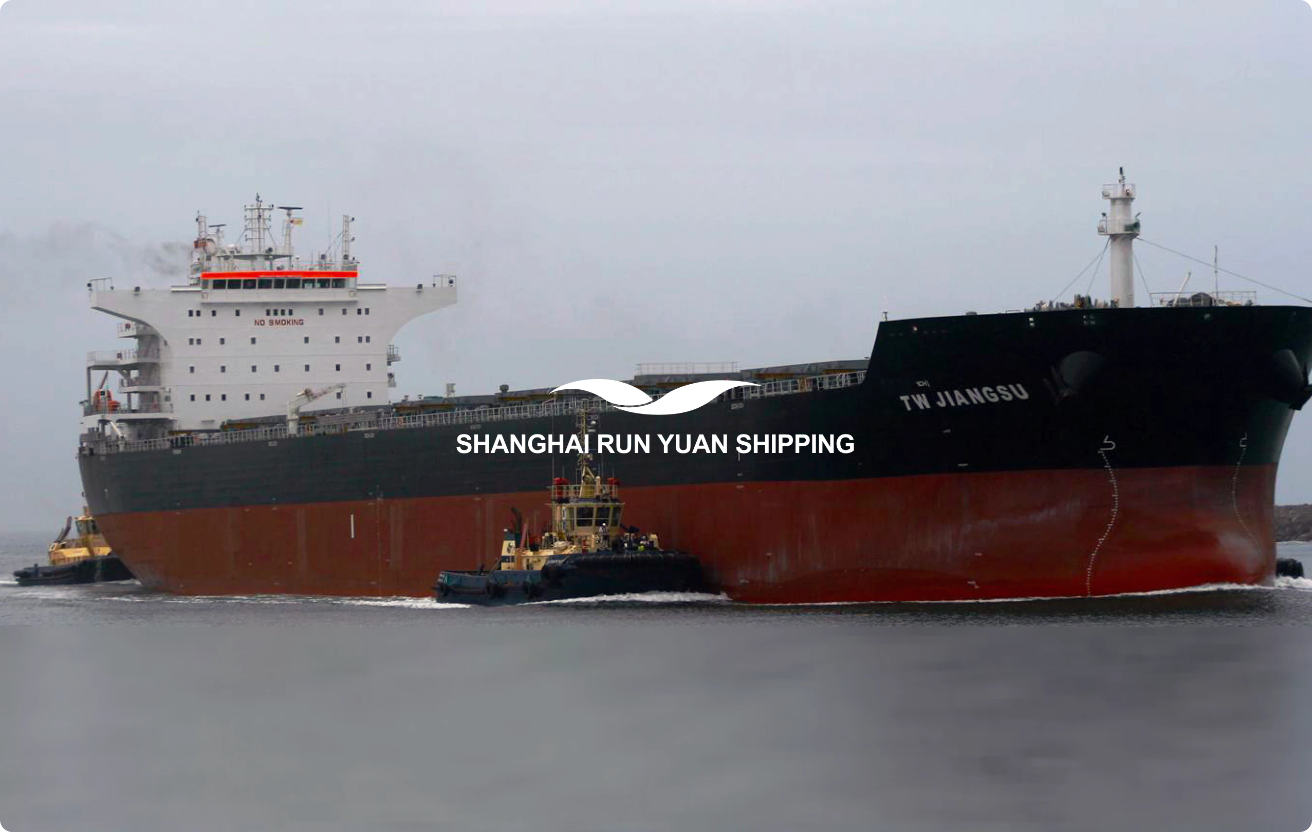
To ensure the safety and efficiency of its fleet, Shanghai Run Yuan Shipping needed advanced weather forecasting that could predict heavy weather.

Get in touch with our team to learn more about what we can do for your business.
