Contact us
Reach out to us and a representative from one of our 26 worldwide office locations will contact you shortly.
Please login to your designated client portal:
Report - December 7, 2023
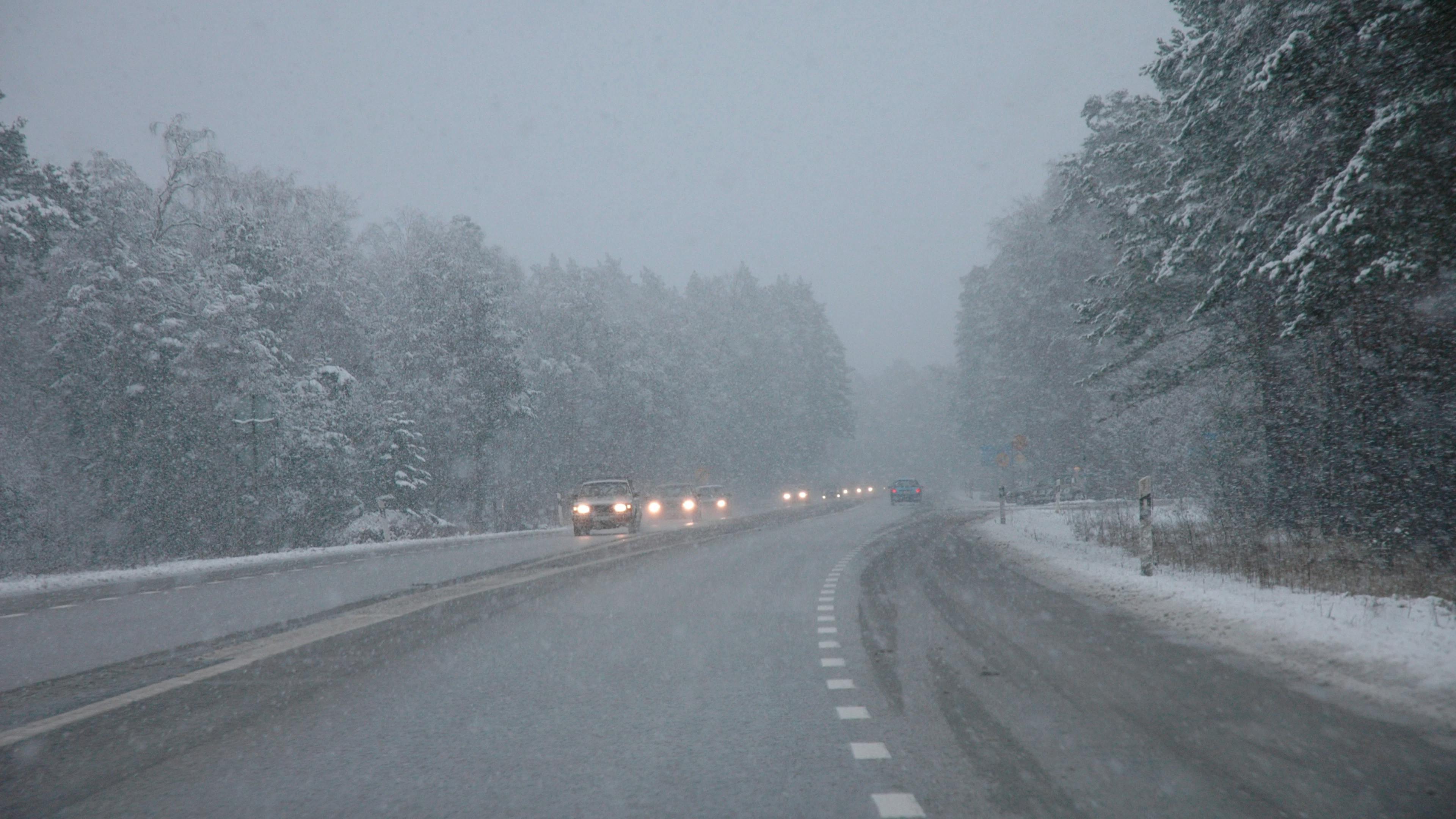
The main areas of concern for winter hazards across the United States are for:

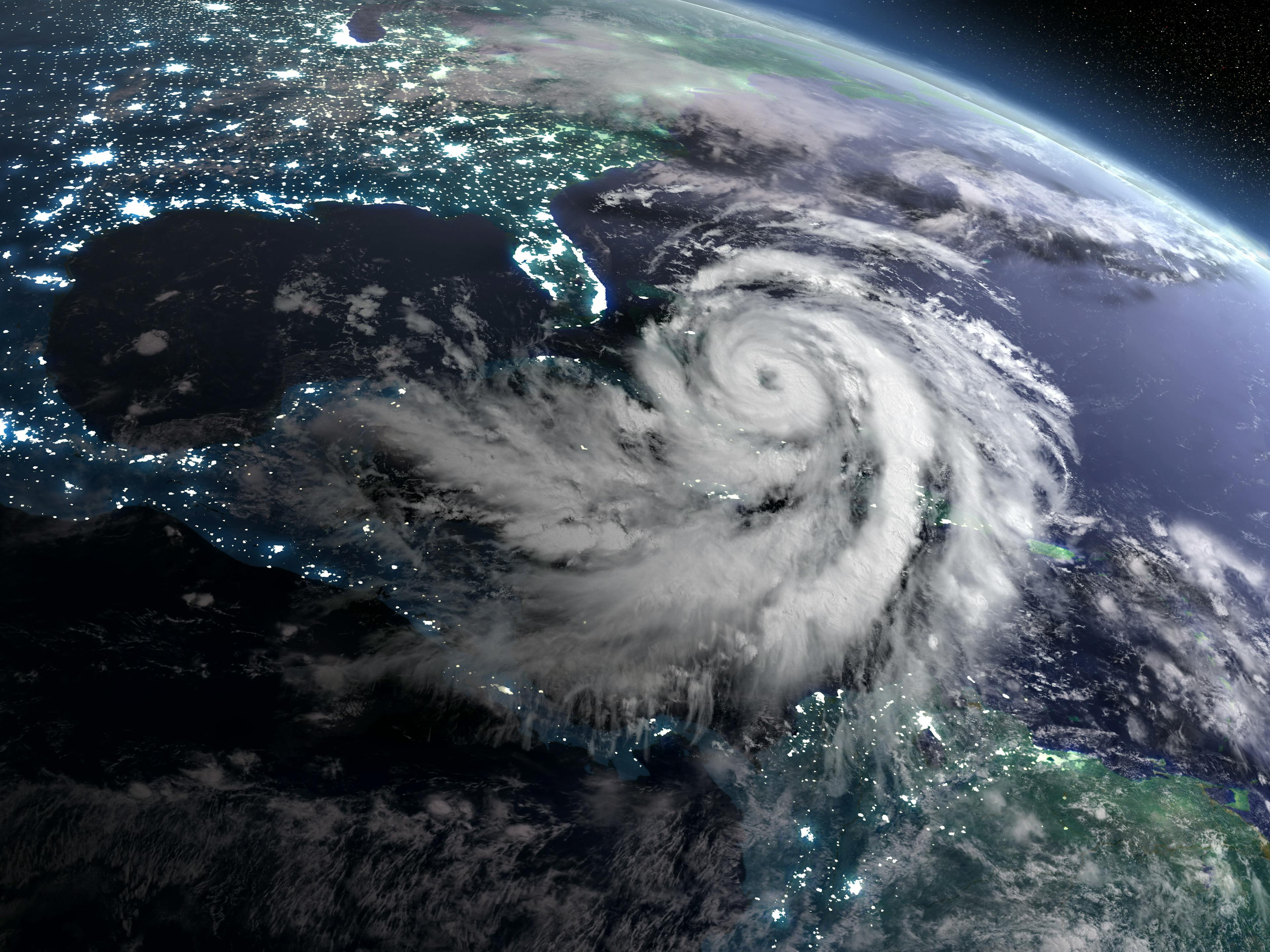
We are likely to see a strong El Niño (e.g., warmer than normal water over the Tropical Pacific) conditions for the upcoming winter season. These El Niños typically have a pronounced influence on the flow pattern with a stronger than normal southern storm track and a weaker northern or polar storm track. This type of pattern usually keeps much of North America milder than normal due to a high frequency of milder Pacific air rather than colder Canadian air. Wetter conditions typically prevail over the southern states and drier conditions over the northern U.S. into southern Canada. The graphic above shows how a typical El Niño pattern works over North America.
For the upcoming winter weather season we continue to see signs this will not be a typical El Niño. First, the upcoming El Niño will likely see the warmest water shift westward into the central Pacific resulting in what is called a Modoki El Niño. These types of El Ninos usually result in higher frequency of colder Canadian air over North America as the winter season matures. Secondly, we are seeing signs that a significant Sudden Stratospheric Warming (SSW) event may impact North America early next year. If this occurs, the normal polar vortex will likely weaken increasing the risk of colder Arctic air intrusions into the Lower 48 and Mexico.

Temperatures are forecast to average above normal across most of Canada extending south across the northeast U.S. to the northern Great Lakes and from the Pacific Northwest southward across most of Mexico. Temperatures in all these areas are forecast to average from 1 to 4F above normal with the warmest across northeast Canada where anomalies could reach up to 5F above normal. Below normal temperatures of 1 to 4F are forecast from the central Rockies eastward across a large part of the Great Plains and Texas to the Deep South and Mid Atlantic. As indicated above, there will be a higher-than-normal risk of Arctic air intrusions by late December into January and February. If this Arctic air turns out to be more frequent, then temperature anomalies may trend colder than indicated above and more widespread over the central and eastern U.S. extending northward into Canada. Elsewhere near normal temperatures are forecast from northern Mexico northward across southeast Idaho and southern Montana, then sharply east across central Wisconsin to the Delmarva Peninsula.
The long-range outlook favors above normal precipitation extending from northern Quebec to Atlantic Canada southward across the eastern and southeastern U.S. to eastern and southern Texas. Above normal precipitation is also forecast from California to western New Mexico and Colorado. Be advised that enhanced snow is forecast over parts of the southern U.S. Rockies to the northern Deep South and over the northeast U.S. to eastern Canada. Below normal precipitation is forecast from southern British Columbia to northern Oregon eastward to Montana and southern Saskatchewan. Near normal precipitation is forecast from northern British Columbia to central Quebec southward across the Great Lakes to the Central and Northern Plains. Near normal precipitation is also forecast from eastern New Mexico and western Texas southward across Mexico.

News
March 18, 2024
With complete ownership, both companies can continue integrating their human expertise and technological innovations to better serve regional clients.
Article
March 16, 2024
Early Outlook for the 2024 Hurricane Season
Article
March 1, 2024

Case
December 14, 2023